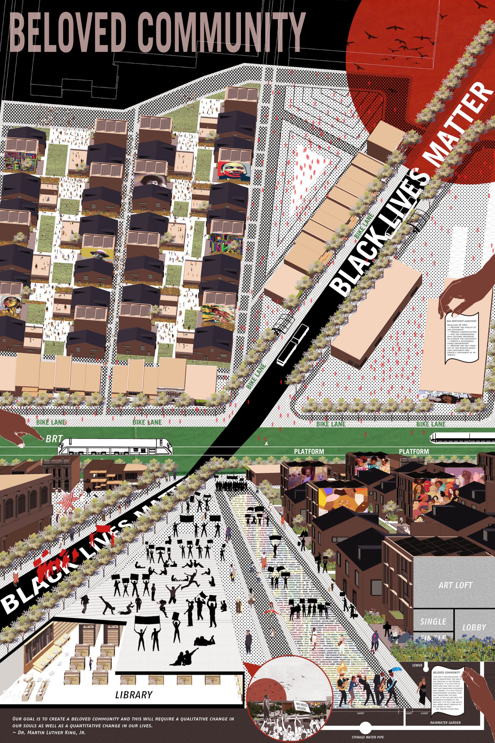
For nearly eighty years, the National Geospatial-Intelligence Agency (NGA) has done its mapping—everything from the surface of the moon to the compound hiding Osama bin Laden—from the city of St. Louis. In 2017, this federal agency pitted three regional sites against each other in the competition to host their new billion-dollar headquarters. Two years later, a site of nearly one hundred acres of “underdeveloped brownfields” in North St. Louis was selected to go from “eyesore to economic boon” as the host of this moated and militarized spy headquarters.1 This supposedly catalytic development eradicated nearly half of what was left of the St. Louis Place neighborhood following decades of erasure from urban renewal, malignant neglect, and unethical real estate transactions. While the project was touted as a massive win for St. Louis due primarily to preserving city income tax dollars, this essay examines how existing measures of success that conflate economic growth (or even simply economic preservation) with progress fail to capture the real social, environmental, and economic costs that development can bring. It considers how the difficult-to-measure aspects of city sociality—rootedness, optimism, opportunity, and social resilience, for example—are critical in recognizing and elevating the importance of spatial justice in our design decisions and design pedagogy. This paper explores the true costs of the NGA relocation to North St. Louis by measuring a broad range of social and economic factors ignored by the city’s assessment. It also considers a second adjacent project, the proposed Brickline Greenway, and explores how its more inclusive objectives begin taking small steps towards repair. Speculative design work from the Master of Urban Design studio at Washington University in St. Louis provides alternative mapping and design solutions that further this paradigm shift.
Continue reading:


