Essay
Antonio Raimondi’s Cartographies for “Progress”

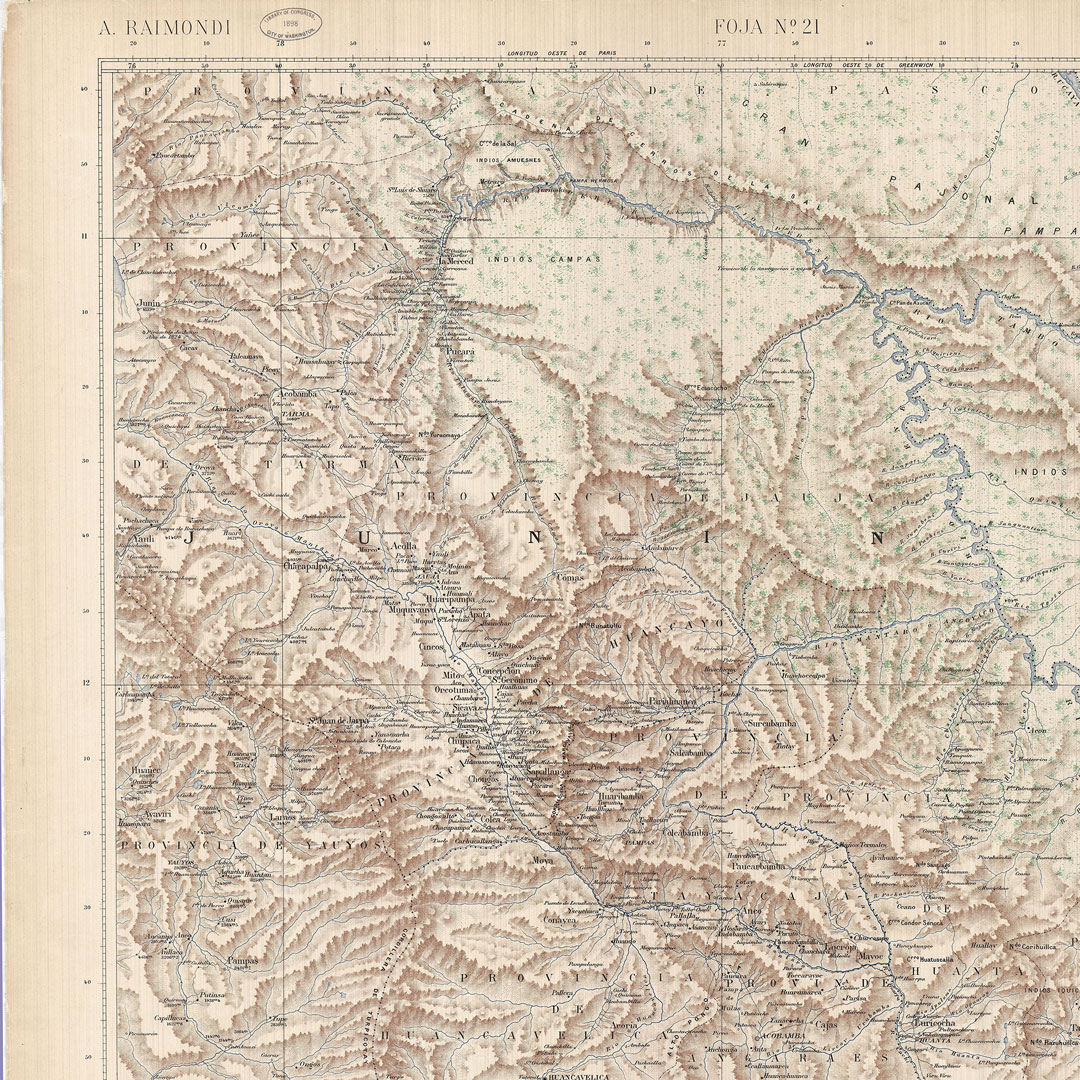
In the late nineteenth century, Italian naturalist Antonio Raimondi carried out a scientific project in Peru, resulting in an extensive archive and body of work, including the Map of Peru (1887–1897). During a period of modernization and economic expansion, Raimondi highlighted Peru’s rich natural resources and promoted European settlements and extractive economies while marginalizing Indigenous communities. Raimondi’s map and larger project transformed landscapes during a critical moment within Peru’s nation-building process, which shaped political identities with lasting effects. This essay examines Raimondi’s Map of Peru, using critical mapping techniques to reveal its biopolitical implications while bringing forward otherwise obscured Indigenous cartographic knowledge.
Continue reading: